Log in
All resources
Create a design
379 Free Artworks of Maps Of Greece
bibliothèque nationale de france
marco boschini
maps of the islands of greece by marco boschini (1658)
context files from gallica
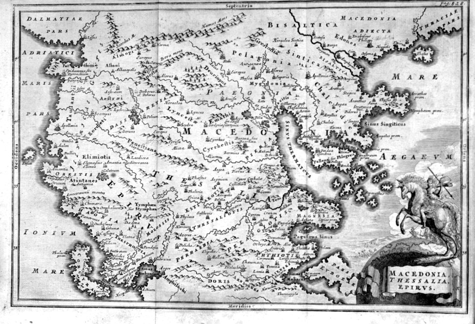
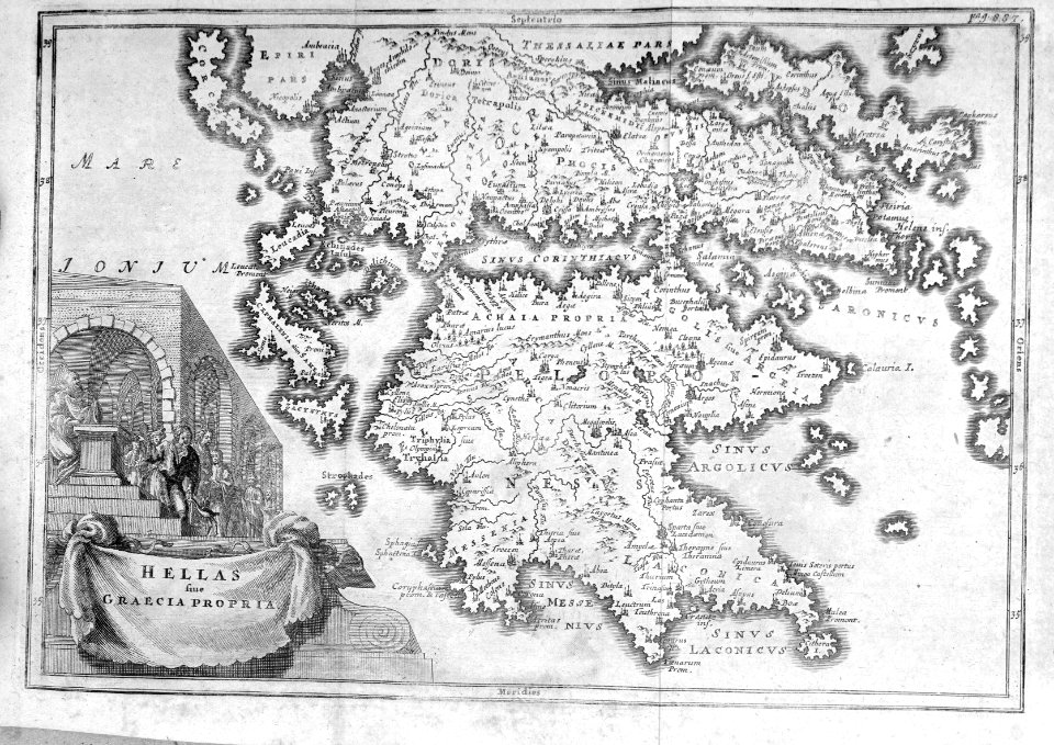
atlas maior, vol 2 (sweden, russia, poland, eastern europe, and greece) - joan blaeu, 1667 - bl 114.h(star).2
copper engraving print
british library
joan blaeu
cartography
engraving
context files from gallica
history of skyros
maps of the islands of greece by marco boschini (1658)
history of sifnos
atlas maior, vol 2 (sweden, russia, poland, eastern europe, and greece) - joan blaeu, 1667 - bl 114.h(star).2
17th-century maps of hungary
maps of the islands of greece by marco boschini (1658)
kinaros
17th-century maps of crete
old maps of candia
maps of the islands of greece by marco boschini (1658)
context files from gallica
maps of the islands of greece by marco boschini (1658)
context files from gallica
bibliothèque nationale de france
maps by thomas kitchin
context files from gallica
history of folegandros
maps of the islands of greece by marco boschini (1658)
bibliothèque nationale de france
atlas maior, vol 2 (sweden, russia, poland, eastern europe, and greece) - joan blaeu, 1667 - bl 114.h(star).2
magni ducatus lithuaniae
maps of ports and fortresses of the mediterranean by marco boschini (1651)
old maps of souda (crete)
maps of the islands of greece by marco boschini (1658)
history of tinos
maps of the islands of greece by marco boschini (1658)
history of serifos
a smaller history of greece, from the earliest times to the roman conquest (1897)
battle of thermopylae
a smaller history of greece, from the earliest times to the roman conquest (1897)
battle of salamis
a smaller history of greece, from the earliest times to the roman conquest (1897)
ten thousand campaign
maps of the islands of greece by marco boschini (1658)
context files from gallica
atlas maior, vol 2 (sweden, russia, poland, eastern europe, and greece) - joan blaeu, 1667 - bl 114.h(star).2
17th-century maps of romania
atlas maior, vol 2 (sweden, russia, poland, eastern europe, and greece) - joan blaeu, 1667 - bl 114.h(star).2
maps of candia by ortelius and mercator
17th-century maps of crete
old maps of candia
maps by thomas starling
1842 maps
maps of the islands of greece by marco boschini (1658)
context files from gallica
atlas maior, vol 2 (sweden, russia, poland, eastern europe, and greece) - joan blaeu, 1667 - bl 114.h(star).2
17th-century maps of scandinavia
maps of the islands of greece by marco boschini (1658)
bibliothèque nationale de france
context files from gallica
history of rhodes
maps of the islands of greece by marco boschini (1658)
context files from gallica
maps of the islands of greece by marco boschini (1658)
history of kythira
context files from gallica
history of samos
atlas maior, vol 2 (sweden, russia, poland, eastern europe, and greece) - joan blaeu, 1667 - bl 114.h(star).2
17th-century maps of poland
18th-century french nautical charts
old maps of lesbos
maps of the islands of greece by marco boschini (1658)
history of lesbos
cartography
maps
cartography
maps
atlas maior, vol 2 (sweden, russia, poland, eastern europe, and greece) - joan blaeu, 1667 - bl 114.h(star).2
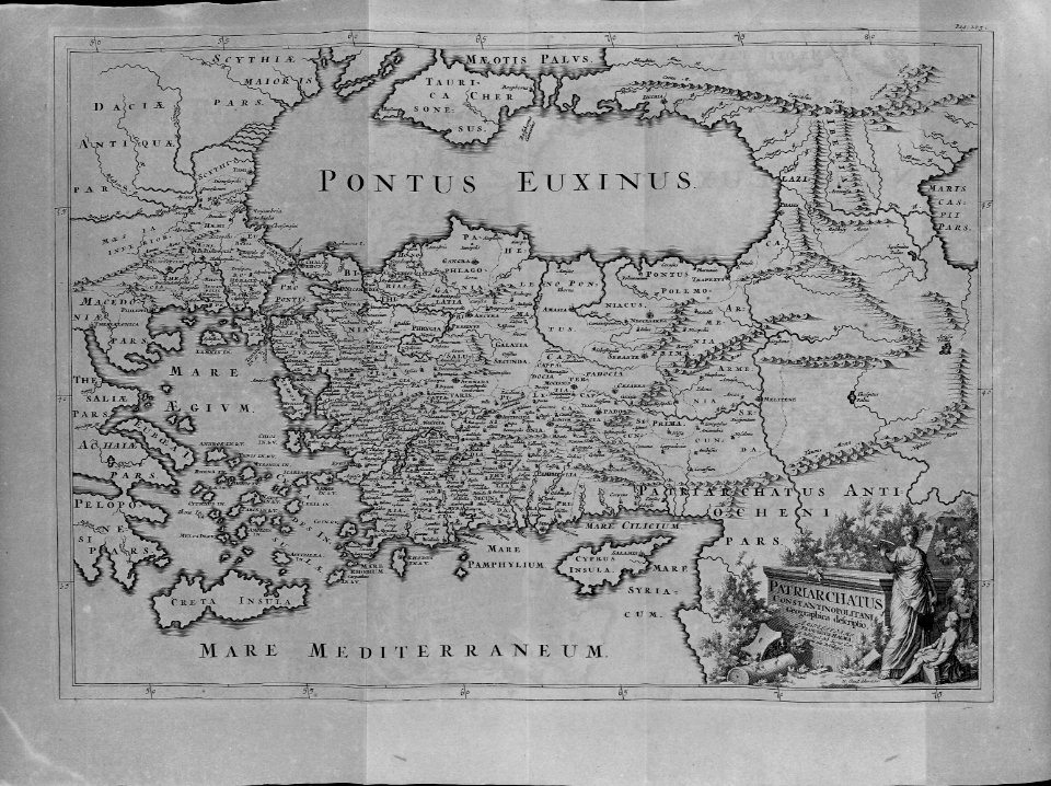
17th-century maps of the aegean sea
atlas maior, vol 2 (sweden, russia, poland, eastern europe, and greece) - joan blaeu, 1667 - bl 114.h(star).2
1667 maps of russia
maps of the islands of greece by marco boschini (1658)
context files from gallica
atlas maior, vol 2 (sweden, russia, poland, eastern europe, and greece) - joan blaeu, 1667 - bl 114.h(star).2
copper engraving print
maps in the british museum
taddeo crivelli
cartography
maps
cartography
maps
atlas maior, vol 2 (sweden, russia, poland, eastern europe, and greece) - joan blaeu, 1667 - bl 114.h(star).2
copper engraving print
maps of saint paul's journeys
maps by thomas starling
maps of the islands of greece by marco boschini (1658)
history of kythira
context files from gallica
history of icaria
maps of the islands of greece by marco boschini (1658)
agathonisi
context files from gallica
history of santorini
maps of the islands of greece by marco boschini (1658)
history of the sporades
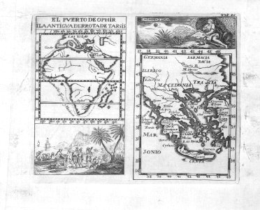
africa
maps
bibliothèque nationale de france
cartouches by tomas lópez
russo-turkish war (1877–1878) in art
great eastern crisis (1875–78)
context files from gallica
history of andros
maps of the islands of greece by marco boschini (1658)
context files from gallica
maps of the islands of greece by marco boschini (1658)
history of anafi
context files from gallica
history of amorgos
maps of the islands of greece by marco boschini (1658)
history of ios
maps of the islands of greece by marco boschini (1658)
history of tilos
maps of the islands of greece by marco boschini (1658)
history of leros
maps of ports and fortresses of the mediterranean by marco boschini (1651)
bibliothèque nationale de france
atlas maior, vol 2 (sweden, russia, poland, eastern europe, and greece) - joan blaeu, 1667 - bl 114.h(star).2
1667 maps of russia
maps of the islands of greece by marco boschini (1658)
context files from gallica
maps of the islands of greece by marco boschini (1658)
history of kythnos
maps of the islands of greece by marco boschini (1658)
history of kalymnos
maps of the islands of greece by marco boschini (1658)
history of patmos
maps of the islands of greece by marco boschini (1658)
history of naxos
maps of the islands of greece by marco boschini (1658)
history of paros
maps of the islands of greece by marco boschini (1658)
context files from gallica
maps of the islands of greece by marco boschini (1658)
history of milos
maps of the islands of greece by marco boschini (1658)
history of nisyros
maps of the islands of greece by marco boschini (1658)
history of mykonos
atlas maior, vol 2 (sweden, russia, poland, eastern europe, and greece) - joan blaeu, 1667 - bl 114.h(star).2
maps of slavonia by gerardus mercator
atlas maior, vol 2 (sweden, russia, poland, eastern europe, and greece) - joan blaeu, 1667 - bl 114.h(star).2
1667 maps of russia
atlas maior, vol 2 (sweden, russia, poland, eastern europe, and greece) - joan blaeu, 1667 - bl 114.h(star).2
17th-century maps of the aegean sea
atlas maior, vol 2 (sweden, russia, poland, eastern europe, and greece) - joan blaeu, 1667 - bl 114.h(star).2
copper engraving print
maps of the islands of greece by marco boschini (1658)
history of chalki
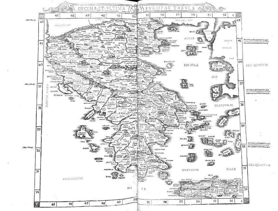
atlas sive cosmographicae (gerardus mercator, 1623)
maps of greece by gerardus mercator
atlas maior, vol 2 (sweden, russia, poland, eastern europe, and greece) - joan blaeu, 1667 - bl 114.h(star).2
copper engraving print
atlas maior, vol 2 (sweden, russia, poland, eastern europe, and greece) - joan blaeu, 1667 - bl 114.h(star).2
copper engraving print
atlas maior, vol 2 (sweden, russia, poland, eastern europe, and greece) - joan blaeu, 1667 - bl 114.h(star).2
copper engraving print
atlas maior, vol 2 (sweden, russia, poland, eastern europe, and greece) - joan blaeu, 1667 - bl 114.h(star).2
copper engraving print
atlas maior, vol 2 (sweden, russia, poland, eastern europe, and greece) - joan blaeu, 1667 - bl 114.h(star).2
copper engraving print
maps of the islands of greece by marco boschini (1658)
context files from gallica
cartouche (cartography)
pierre françois tardieu
atlas maior, vol 2 (sweden, russia, poland, eastern europe, and greece) - joan blaeu, 1667 - bl 114.h(star).2
1667 maps of russia
cartography
maps
maps of the islands of greece by marco boschini (1658)
context files from gallica
maps by abraham ortelius
pieter van der keere
cartography
maps
atlas maior, vol 2 (sweden, russia, poland, eastern europe, and greece) - joan blaeu, 1667 - bl 114.h(star).2
copper engraving print
atlas maior, vol 2 (sweden, russia, poland, eastern europe, and greece) - joan blaeu, 1667 - bl 114.h(star).2
copper engraving print
atlas maior, vol 2 (sweden, russia, poland, eastern europe, and greece) - joan blaeu, 1667 - bl 114.h(star).2
copper engraving print
16th-century maps of crete
old maps of candia
atlas sive cosmographicae (gerardus mercator, 1630)
maps of greece by gerardus mercator
atlas maior, vol 2 (sweden, russia, poland, eastern europe, and greece) - joan blaeu, 1667 - bl 114.h(star).2
copper engraving print
maps of ports and fortresses of the mediterranean by marco boschini (1651)
old maps of heraklion
16th-century maps of crete
old maps of candia
maps of ports and fortresses of the mediterranean by marco boschini (1651)
bibliothèque nationale de france
maps of ports and fortresses of the mediterranean by marco boschini (1651)
old maps of kythira
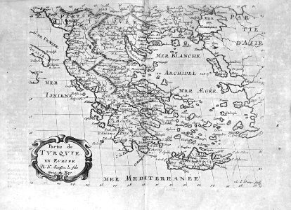
géographie générale; physique, politique et économique (1876)
1870s maps of greece
the antiquities of athens (stuart&revett)
greek revival architecture
201 - 300 of 379
Next page
/ 4


![Port and Forte[z]za d[ell]a Suda / by Marco Boschini, Marco Boschini, 1651](https://cdn.creazilla.com/illustrations/10001359456/port-and-fortezza-della-suda-by-marco-boschini-marco-boschini-1651-sm.webp)


![Isolette [Raclia, Schinussa, etc] / Marco Boschini, 1658](https://cdn.creazilla.com/illustrations/10001438226/isolette-raclia-schinussa-etc-marco-boschini-1658-sm.webp)


![Cerigo / [par Marco Boschini], Marco Boschini, 1651](https://cdn.creazilla.com/illustrations/10000847729/cerigo-par-marco-boschini-marco-boschini-1651-sm.jpg)

